The CALMAR Crop Condor

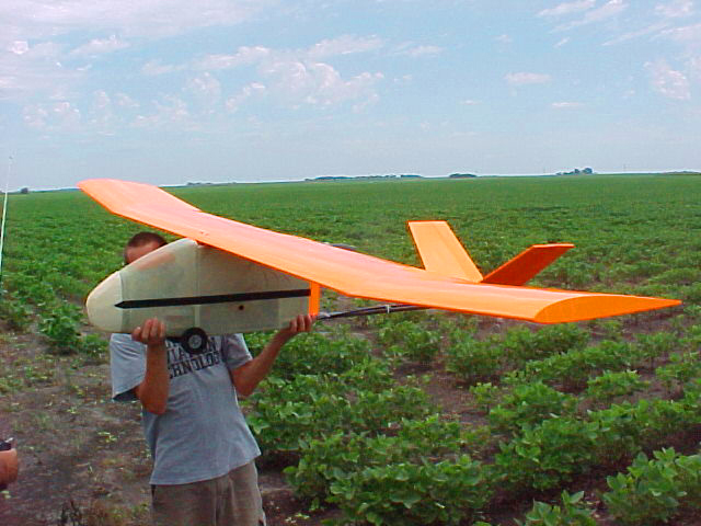
Like its namesake, the CALMAR Crop Condor is not exactly an
attractive bird to look at. However, it fulfills its task
very well. With this aircraft, we are able to acquire high-resolution
aerial images in a very timely fashion. Whereas satellite
and full-size aircraft must be scheduled days, weeks, or sometimes
months in advance, the Condor can fly with a minimum of preparation,
allowing us to complete time-critical imagery applications
like tile line location maps, plant health and yield mapping
from aerial imagery more effectively. In addition, due to
the low altitude that the Condor flies at (typically 1000'
or less.), we can often fly when conditions would prevent
image acquisition using other platforms.
The Condor is piloted by an experienced R/C pilot. It has a
GPS receiver onboard that transmits its location back down
to a ground-based laptop for navigation purposes. The Condor
also has a gyro stabilization system that is used to stabilize
the aircraft for image acquisition.
| Vital
Statistics (Aircraft):
- 10 foot wingspan
- 5 foot nose to tail
- 18 lbs ready to fly
- V-tail design
- Wings separate and fold for convenient transport
in most pickups or SUVs
- Electric powered
- Rugged, low maintenance construction
- Flight times in excess of 45 minutes per charge
- Capable of aprox. 40 acres per image
- Capable of altitudes in excess of 1250'
- Gyro stabilization system
|
Vital Statistics (Imaging
System):
- Dual 5 megapixel digital cameras
- Both infrared and color images
- Simultaneous image captures
- 6 inch typical pixel resolution @ 1000'
|

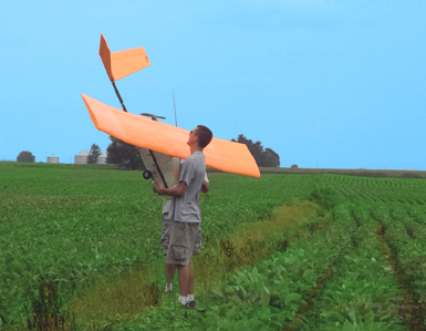
One last preflight check...

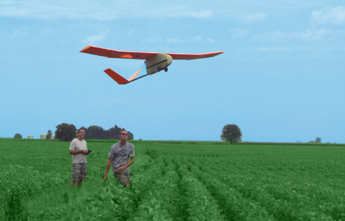
Launch!!!
Click here
to see a small movie of an early test flight launch (.avi
format).

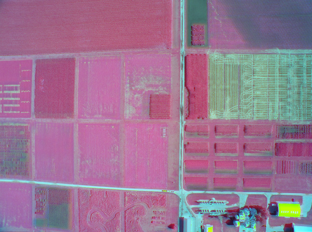
Sample color infrared image taken using the
Condor. Infrared and color images were combined to create
this color infrared image.
We are now taking requests for image
acquisition and image processing using the Condor.


